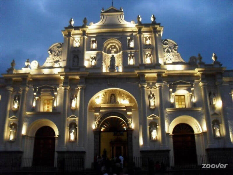
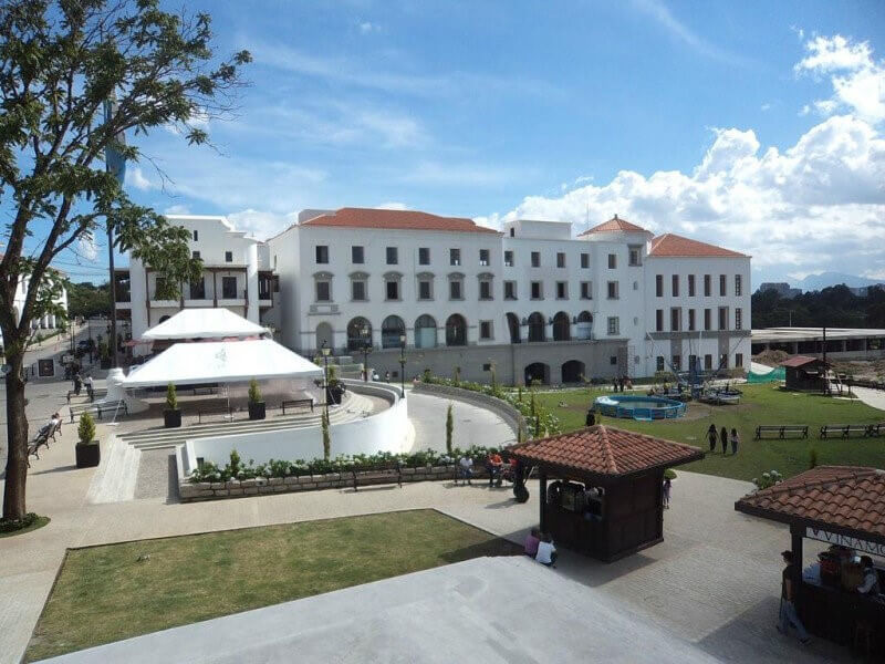
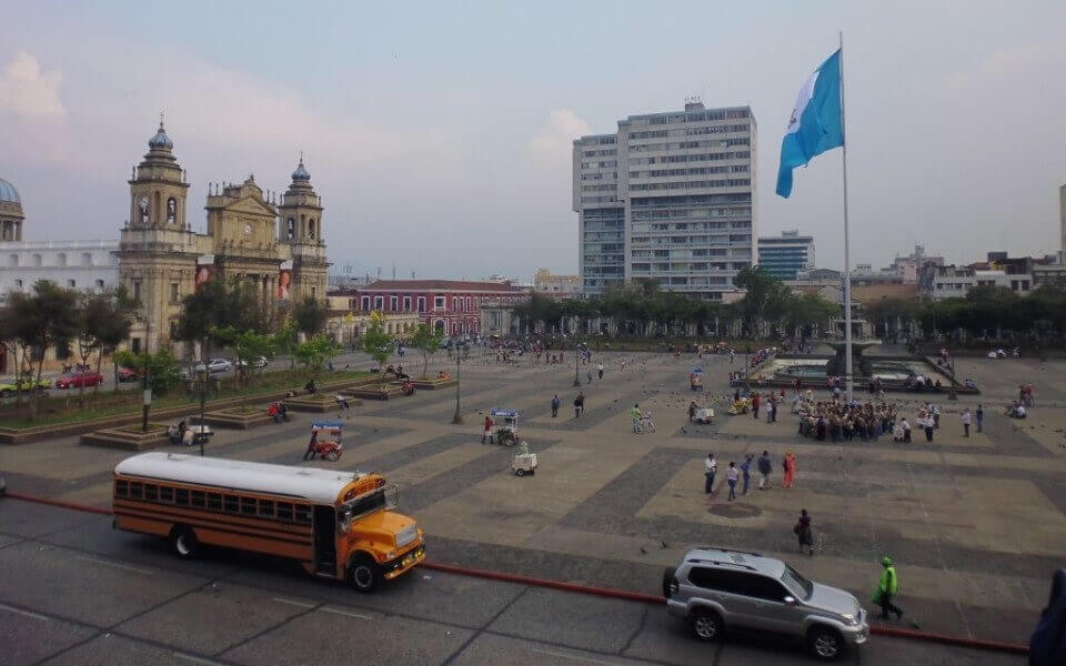
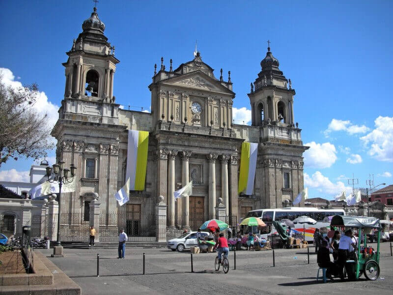
We will take you thru the principals touristic destinations of the city such as Civic Center, Downtown, National Palace, Cathedral, museums, Cayala Area and included in the tour a free lunch on a very famous typical Guatemalan food restaurant. We will pay your lunch. In the afternoon we will take everyone
to the assigned hotels.
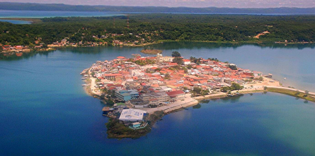
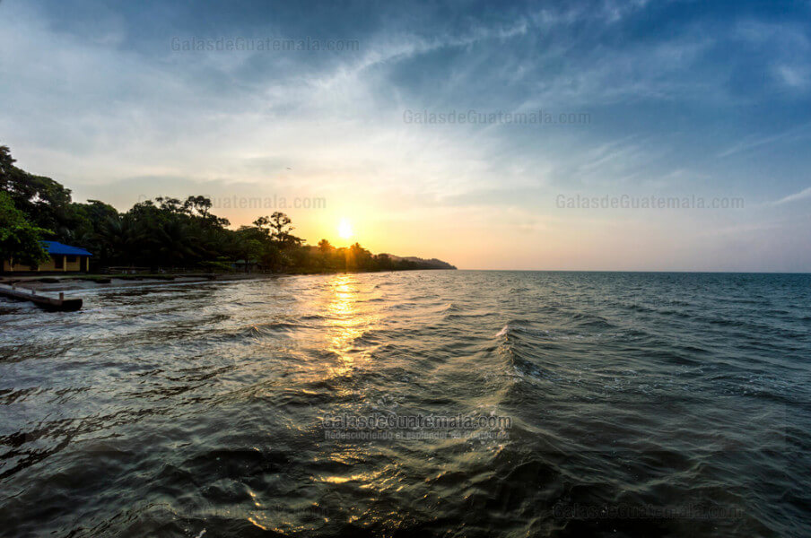
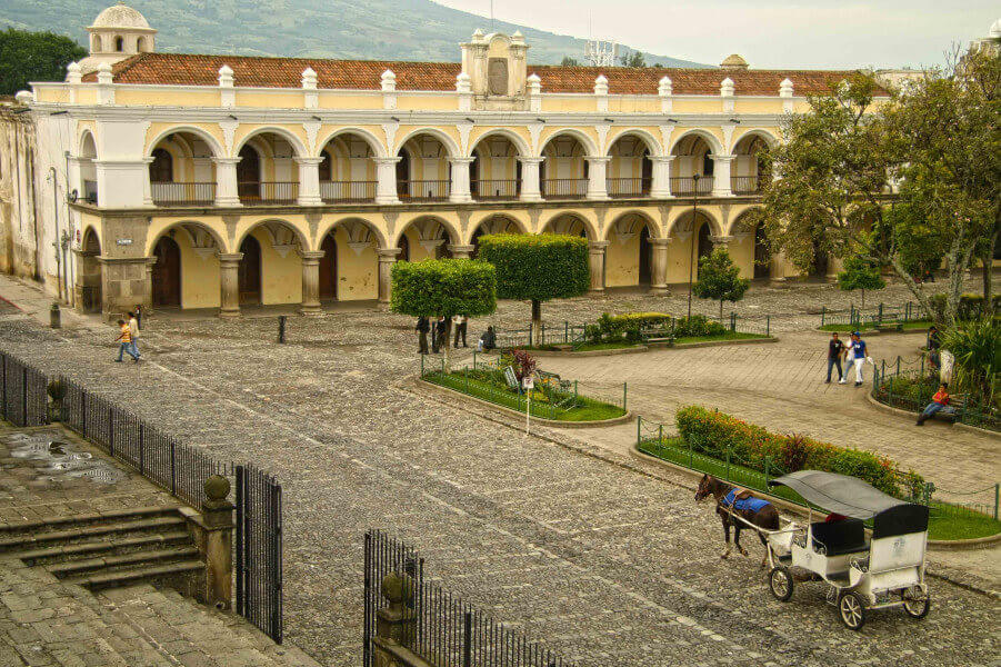
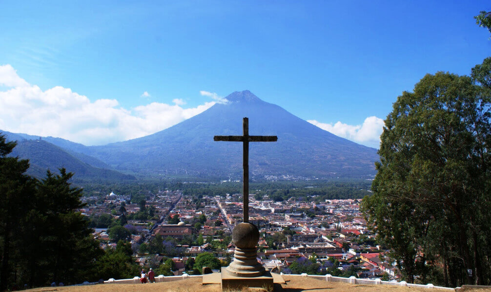
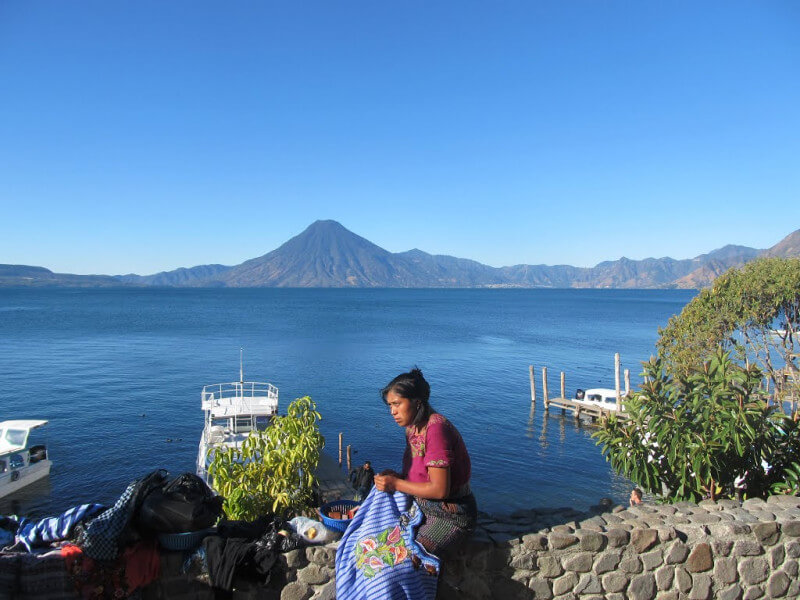
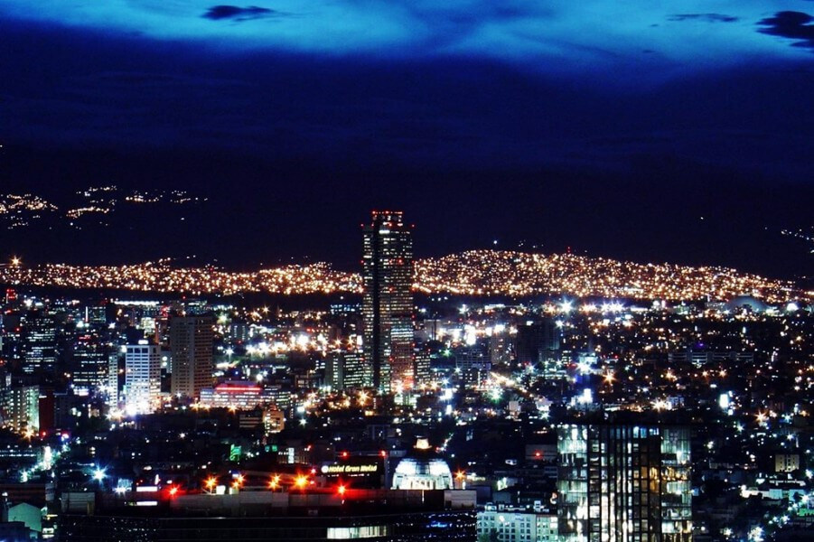
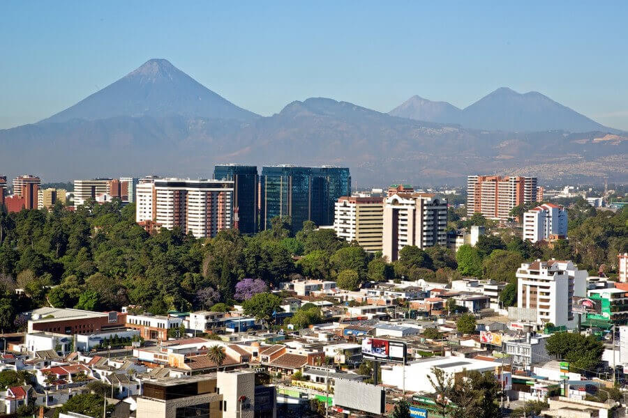
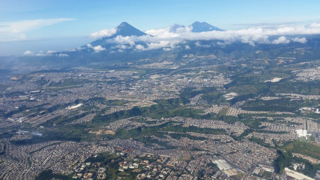
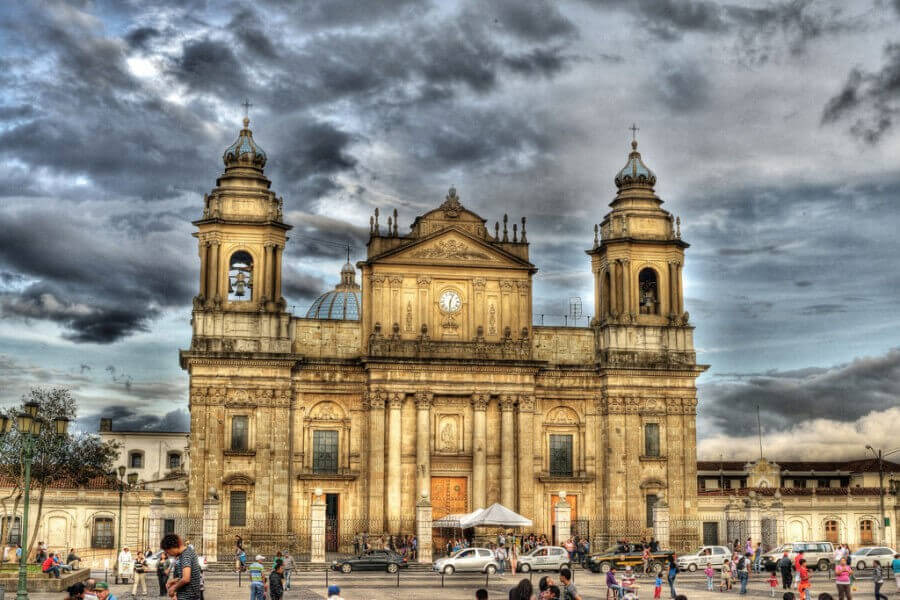
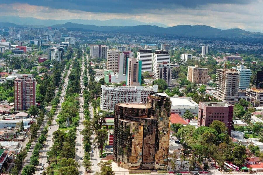
The city of Guatemala, whose official name is Nueva Guatemala de la Asunción, is the capital and seat of the government of the Republic of Guatemala, as well as the seat of the Central American Parliament. The city is located in the south-central area of the country and has a large amount of green areas. According to the latest census in the city, 2,149,107 people live there, but considering its metropolitan area according to the National Institute of Statistics, it reaches an estimated 4,703,865 inhabitants for 2015, Which makes it the most populous and extensive urban agglomeration in Central America.
The New Guatemala of the Assumption is the fourth settlement of the capital of the Kingdom of Guatemala. The reason for its transfer to the Valley of the Ermita were the earthquakes of Santa Marta, that destroyed to a large extent the city of Santiago de Guatemala, the old capital of the Kingdom of Guatemala. The transfer order was given on December 1, 1775 and on January 2 of the following year there was a meeting for the first time in the city council of the new city. A plaque, which stands in front of the Santa Cruz Parish, just at the beginning of the Milla and Vidaurre road named after the writer and diplomat José Milla y Vidaurre, commemorates this fact. The name of the new city was decreed by the King of Spain on January 23, 1776.
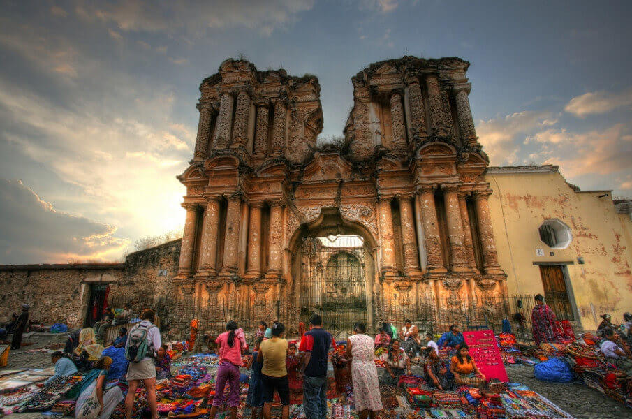
Its development has been affected in numerous occasions by natural disasters, earthquakes in their majority, that have devastated the city and its surroundings receding in her years of development. The last one that affected it was the earthquake of 1976 that seriously damaged the modern structure built and the one that was under construction, as well as historical relics like the churches of Our Lady of the Favor, The Collection, Our Lady of the Cerrito of the Carmen - First church built in the valley around 1620-, and the Central Market building.
Luego de los terremotos de «Santa Marta» en 1773, las autoridades españolas decidieron que la ciudad de Guatemala tenía que cambiar de lugar para evitar un otro evento de la misma magnitud, pues consideraron que los movimientos telúricos eran causados por los volcanes vecinos a la ciudad; era necesario comenzar un peregrinaje en busca de un nuevo sitio que ofreciera a los habitantes seguridad y provecho. Después de largas discusiones, los que apoyaban el traslado de la ciudad impusieron su opinión y partieron rumbo al «Valle de la Ermita», mientras que la oposición se quedó en la Santiago de los Caballeros a reconstruir la ciudad.
Habiendo hecho estudios sobre los lugares más apropiados para asentar la nueva ciudad se aludía necesariamente a las facilidades para proveer de agua a la nueva capital, mencionándose que en el río de Pinula, en el llano de «la Culebra», había ya una toma que facilitaba el agua a los pocos vecinos del valle y se acompañaba un plano hecho por el arquitecto mayor Bernardo Ramírez, maestro mayor de obras y fontanero de la «Nueva Guatemala de la Asunción». Así pues, el proyecto del acueducto en la Nueva Guatemala de la Asunción empezó con la propuesta al analizar el traslado de la capital luego del terremoto de 1773.
Read more
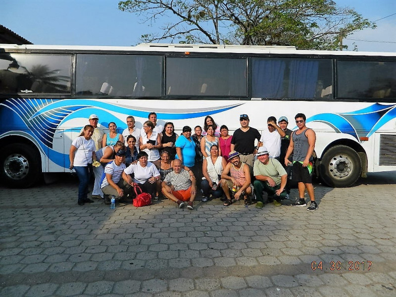
Guatemala City 1 night