Click to see trip plan

Culture and Lanscape of Indigenous Highlands

from

USD

1,304

/ person
  • 1
  • 12 Days
PRICE

Don Quique

Don Q Tours

We are a company that provides Quality Tourism Services according to wishes and needs of our clients

  • Local time:08:53

Culture and Lanscape of Indigenous Highlands

from

USD

1,304

/ person
  • 12 Days

Culture and Lanscape of Indigenous Highlands

Our tour will depart from Guatemala City from the different hotels that our guests choose. We will visit a few of the main indigenous villages and towns of the highlands, the main touristic attractions in Guatemala. Traveling will be accomplish by Pullman or minibus depending of the number of passengers. Our tours are private, so we usually carry a group from beginning to end. We make strategic planned stops for pictures and guests comfort.

Reaching the Highlands of Guatemala

Our day 1 of the tours will take us to the famous internationally colonial city of Antigua Guatemala. Before, we will make a stop at the Mayan Archeological Park of Kaminal Juyú. Is a Mayan prehispanic site located in the City of Guatemala, within the area of ​​the current capital of our country. Although of unknown etymology, the archaeologist José Antonio Villacorta Calderón gave this name that means (in Quiche language: Kaminaljuyú, 'Hill of the dead') Kaminaljuyú is one of the oldest Mayan sites, and is the area with the longest occupation in Mesoamerica, populated from around 1200 BC. C. until about 900 d. C. In this place they have made finds of pottery, sculpture, architecture and Mayan engineering. The research shows that it was a major producer and exporter of obsidian during the Mayan splendor, due to the exploitation of several nearby quarries such as El Chayal and Ixtepeque, due to its strategic location in the center of the Guatemalan territory. Important point in the commercial route between the Pacific coast, like Chocolá, in Suchitepéquez and Takalik Abaj, in Retalhuleu and the Mayan cities of El Petén, for centuries. The beginning of the human occupation of the area known as Kaminal Juyú took place in the Middle Preclassic period, contemporary to the development of the Olmec culture. Its time of greater flowering corresponds to the following archaeological period. By the second century, Kaminal Juyú was beginning to decline. The city received a strong influence of Teotihuacan, with which it maintained commercial relations. Some authors raise the possibility that Kaminaljuyú was militarily dominated by Teotihuacan. In that sense, the site would have played an important role in controlling the trade routes of the southeast, which allowed Teotihuacan to maintain hegemony in the Mesoamerican trade of the time. The archaeological site is located in the valley of what is now Guatemala City, and has about one hundred and ten platforms. Only its central acropolis is conserved, since an important section of the site has been destroyed by the urbanization. A sample of the findings of the site are in the National Museum of Archeology and Ethnology of Guatemala. We will continue to and spend the night in the famous city of Antigua, having the afternoon and early evening to rest or walk around the city guided by our tour specialist. Read more

Colonial Antigua, 2 nights
More Pictures

Colonial Antigua Guatemala

Thru this day we will guide you thru the city of Santiago de los Caballeros de Guatemala, whose official and historical name is Very Noble and Very Loyal City of Santiago de los Caballeros de Guatemala and popularly named today as Antigua Guatemala, is the head of the homonymous municipality and the department of Sacatepéquez, Guatemala; Is located approximately 45 kilometers to the west of the capital of the Republic of Guatemala, and to an altitude of 1470 mts above sea level. It was designated as a World Heritage Site by UNESCO in 1979. During the time of the colony it was known as "Santiago de los Caballeros de Guatemala", and was the capital of the Captaincy General of Guatemala between 1541 and 1776, the year in which the capital was transferred to the city of Nueva Guatemala de la Asunción after the earthquakes in Santa Marta ruined the city for the third time in the same century and civil authorities used that as an excuse to weaken the ecclesiastical authorities - following the recommendations of the Bourbon Reforms undertaken by the Spanish crown in the second half of the Eighteenth-century forcing the regular orders to move from their majestic convents to fragile temporary structures in the new city. From the transfer the city was renamed "ruined Guatemala", "Santiago de Guatemala antigua" and "old city". It was abandoned by all royal and municipal authorities, and in 1784 by the two last parishes: "Candelaria" and "Nuestra Señora de los Remedios", also without ecclesiastical authorities. A few years later, Archbishop Cayetano Francos and Monroy authorized the Operation of three interim parishes that took the name of their predecessors: "San Sebastián", "Candelaria" and "Los Remedios", where they kept the largest number of religious art works that remained in ancient Guatemala. After the Independence of Central America in 1821 recovered the category of city and was named like head of the department of Sacatepéquez. In addition, the State of Guatemala established circuits and districts for the delivery of justice through jury trials in 1825 and Antigua Guatemala was assigned as the seat of the circuit of the same name in District No. 8 (Sacatepéquez). In the twenty-first century it is a major Guatemalan tourist destination for its well-preserved Spanish baroque architecture with Baroque façades of the New World, as well as a large number of ruins of Catholic churches, even after their structures were severely damaged by the abandonment in which were between 1776 and 1940 and by the earthquakes of 1874, of 1917 and 1976. It is also recognized by the solemn processions of Holy Week that have been held annually since before the transfer of the capital to New Guatemala . According to the official census of 2003, it has a population of 44,097 The first historical documents in which the name of Guatemala is written are the letters of relationship that Pedro de Alvarado sent to Hernán Cortés in 1524. In the letters quoted, the name of Guatemala is written in the same way as it is now done and It is surely the Castilianization of the word Quauhtemalan ("place of many trees") of Náhuatl origin, that was the name with which they knew to the city and nation cakchiquel the Mexican auxiliaries that accompanied to Alvarado and Cortes. Free evening to walk around and relax. Read more

Antigua Guatemala
More Pictures

Antigua & Iximche Maya City

From Antigua, We will continue our tour to Iximche, The first Colonial City Capital of Guatemala, founded by Pedro de Alvarado, the conqueror. Also was the capital city (archeological) of the Quiche's tribe, who resisted the Spaniard conquistadores until the Cacique Tecún Uman was killed in battle against the Conquistador Pedro de Alvarado, who later was also killed in another battle. Kimchi (or Iximche in the spelling kaqchikel) is a pre-Columbian archaeological site in the western plateau of Guatemala. From its foundation in 1470 by the Spanish conquistadores, until its abandonment in 1524, Iximche was the capital of the Mayan kingdom Kaqchikel in the Late Post classic. The architecture of the site includes a number of pyramidal temples, palaces and two Mesoamerican ball fields. During the excavations of the site were discovered the remains of painted murals - in poor condition - in some of the buildings and ample evidence of human sacrifices. The ruins of Iximché were declared a National Monument of Guatemala in the 1960s. The site has a small museum with an exhibition of pieces found during excavations, including sculptures and ceramics. It is open to the public every day of the week. For many years, the Kaqchikeles were loyal allies of the Quiche Maya. However, the growth of the Kaqchikel' s power within this alliance eventually caused so much tension that the Kaqchikeles were forced to flee from the capital of the Quiche and founded the city of Iximché. The Kaqchikeles established their new capital on a summit with good natural defenses, almost entirely surrounded by deep ravines. The city of Iximché developed rapidly, and within 50 years of its founding it reached its maximum extension. The rulers of Iximché were made up of four principal nobles, drawn from the four most important clans of the Kaqchikel people, though only the lords of the Sotz'il and Xajil clans possessed the royal power. In the first years after the founding of Iximché, the Quiche left the Kaqchikeles in peace. Peace was not lasting, however, and in a battle which occurred around 1491 the Kaqchikels defeated their former lords. This was followed by internal conflicts between the kaqchikeles clans, in which the rebellious clans finally were subjugated in 1493. We will continue our tour to Chichicastenango in the late afternoon. Feel free to stroll or relax, visit the market and buy souvenirs. We will guide you thru the afternoon and early evening. Read more

Chichicastenango
More Pictures

Solola and Atitlan Encounter

We will spend the morning visiting the city and market of Chichicastenango. In the early afternoon, we will travel from Chichicastenango to Sololá. The most important hydrographic accident in the department of Sololá in Guatemala is Lake Atitlán, which is one of the main economic sources of the department, as well as being a very attractive tourist center, it serves as much commercial support. We will make a stop at downtown Sololá and visit their Indigenous City Hall. central park and other attractions. Al igual que en la actualidad el territorio del departamento de Sololá estuvo ocupado por tres pueblos, los k´iche´, tz'utujil y cakchiquel. Hasta mediados del siglo XV (entre 1425 y 1475), los quichés y cakchiqueles formaron una sola organización política y social. Durante el reinado de Quikab el Grande, los cakchiqueles fueron obligados a desalojar su capital, Chiavar (Hoy Santo Tomas Chichicastenango) y se trasladaron a Iximché, luego de los cual libraron sangrientas guerras con los quichés. El pueblo tzutujil por su parte, se vio obligado a pelear continuamente contra estos dos pueblos dominantes en la región, con quienes se alternaron en alianzas y guerras de defensa constante para intentar mantener su soberanía. Los cakchiqueles, al igual que los quichés, estaban integrados en linajes. De los cuatro linajes cakchiqueles, el segundo en importancia era el de los Xahil, que ejercía dominio sobre la mayor parte del departamento y tenía su capital en el pueblo de Tzoloj-já (que significa agua de sauco). We will then procede to the lake. In the margins of the lake the volcanoes of Atitlán (3537 msnm1), Tolimán (3158 asl) and volcano San Pedro (3020 asl) rise. The lake is located at 1560 meters above sea level and is 18 km long. Its depth, which varies in many points, is unknown, however have been probed more than 350 meters deep. A very important tourism destiny, the town of Atitlan with in Sololá region, offers great location and landscape, very romantic and peaceful village. Has been called the most beautiful lake in the world. Read more

Lake Atitlan, Solola 2 night
More Pictures

Beatiful Lake Atitlan

On our 5th day of the tour, we will take a boat ride around the lake and some of the following village each with their own dialect and culture, Santiago, Santa Catarina Palopo and San Juan la Laguna, . Each one different from the other, some with antique museums, religious legends, different gastronomy, dresses, etc. We will have lunch (Not Included in this offer) at one of the villages, by the afternoon we will come back to our hotel and enjoy a free afternoon for walking around, just relaxing or shopping at one of the many stores in town. Has many hotels and restaurants from local to international food. Our guide will take thru this adventure. Read more

Atitlan City hotels
More Pictures

Capital of Los Altos

We will say good by the beautiful lake Atitlan and drive towards Totonicapán and Quetzaltenango. We will visit San Francisco El Alto Market, near Quetzaltenango. Before the Spanish conquest, the place was called "Chuisiguán" which is a term of the K'ich'e language and means "place on the precipice" because of its location on top of a steep hill. The residents of San Francisco El Alto joined the revolt against excessive tributes, which began on February 20, 1820 in Santa Maria Chiquimula; In the interest of their indigenous people to ecclesiastical taxes and tribute, Atanasio Tzul and Lucas Aguilar fought against the power of the Captaincy General of Guatemala represented by Captain General, the Archbishop of Guatemala, Ramón Casaus and Torres, the local Ladino elite, and The Totonicapán caciques The royal tributes had been suppressed in 1811 by the courts of Cadiz, but were again imposed by King Ferdinand VII. After visiting San Francisco el Alto, we will continue our tour towards Quetzaltenango. Quetzaltenango [ketsaltenaŋgo], also known as Xelajú [ʃelaxu] or Xela [ʃela], is the head of the department of Quetzaltenango, it is also the second most important city of Guatemala. Located in a mountainous valley in the western plateau of Guatemala with an average altitude above sea level of 2333 meters (7734 feet). The municipality is part of the Commonwealth Metropolis of the Highlands. The city of Quetzaltenango was proclaimed as Capital of Central America by the Parlacen in 2008. At the City level the population is about fifty-five percent indigenous or Amerindian, thirty-five percent mestizo or ladino, and ten percent of Europeans (mostly from Italy and Spain) and at the departmental level 60.5 Percent of the population is indigenous, a percentage higher than that observed at the national level (thirty-nine percent); Among the Indians, the K'iche 'and Mam ethnic groups predominate. It is spoken mainly Spanish, official language, while the K'iche 'is spoken in the outskirts of the city and Italian among the descendants of Italian immigrants who settled in the town. We will arrive and spend the night in Quetzaltenango. Read more

Toto & Quetzaltenango 1 nigh
More Pictures

Xetulul & Xocomil Parks

We will guide you thru the streets of Quetzaltenango.Quetzaltenango [ketsalteˈnaŋgo], conocida también como Xelajú [ʃelaˈxu] o Xela [ˈʃela], perteneciente al departamento de Quetzaltenango, asimismo, es la segunda ciudad más importante de la República de Guatemala, la Ciudad Prócer, localizada a los 14° 50' 40" de latitud Norte y 91° 30' 05" de longitud oeste, a 206 km al Noroeste de la Ciudad de Guatemala.5​ La ciudad se encuentra ubicada en un valle montañoso en el altiplano occidental de Guatemala con una altitud media sobre el nivel del mar de 2333 metros (7734 pies). Cuenta con una población de 300,000 habitantes en la zona metropolitana más la población que se genera de las ciudades colindantes debido al flujo comercial-educativo y para trabajar, la población se incrementa con 30,000 personas que conforman la población flotante de la ciudad. La Ciudad de Quetzaltenango fue proclamada como Capital de Centroamérica por el Parlacen en 2008. Es la cabecera del departamento de Quetzaltenango, que tiene 1953 km², equivalentes al 1,8% del territorio nacional. En el siglo xxi el municipio se incorporó a la Mancomunidad Metrópoli de los Altos, una entidad que involucra a varios municipios de los departamentos de Quetzaltenango y Totonicapán y que promueve el desarrollo sostenible de los mismos a mediano y largo plazo.6​ A nivel de Ciudad la población es de alrededor del cincuenta y cinco por ciento indígena o amerindia, el treinta y cinco por ciento mestizos o ladinos, y diez por ciento de europeos (en su mayoría procedentes de Italia y España) y a nivel departamental el 60.5 por ciento de la población es indígena, porcentaje superior al observado a nivel nacional (treinta y nueve por ciento); entre los indígenas predominan los grupos étnico k'iche' y Mam. Se habla principalmente español, idioma oficial, mientras que el k'iche' se habla en las periferias que de la ciudad y el italiano entre los descendientes de inmigrantes italianos que se establecieron en la localidad. In the early afternoon we will depart towards Retalhuleu, in the coastal pacific area of Guatemala, To visit the attraction parks of Xetulul and Xocomil, one water park and the other mechanical games. Xetulul quiere decir “bajo los zapotes”, un calificativo que refleja la inspiración en las tradiciones propias con que ha sido construido todo el parque. Para empezar, el lugar conserva los rasgos distintivos heredados de la tradición maya, sin perder las singularidades incorporadas por los colonizadores. La lengua maya y el zapote, árbol de dulces frutos del área geográfica, sirven para enfatizar el carácter autóctono del parque. Este parque acuático ha sabido trascender al concepto de diversión y convertirse en un verdadero monumento a la riqueza cultural y natural de Guatemala. Los 77,300 metros cuadrados que abarca este parque se han organizado alrededor de una pirámide, cuyos restos arqueológicos se van perdiendo entre una vegetación natural, de selva tropical y corrientes de agua. En este contexto se disponen toboganes, ríos y piscinas de olas de alto entretenimiento. We will spend the night in Retalhuleu. Free afternoon and evening to relax and enjoy the parks and activities offered. Read more

Retalhuleu 2 nights
More Pictures

Xocomil & Xetulul Parks & Takalik Abaj

Enjoy the activities offered in the water and electronic games parks, or enjoy the other relaxing activities that the thematic hotels offer in this amusement center, such as Jacuzzi, swimming pools, spa (optional), and other sports. Free day to enjoy. In the early afternoon we will depart the parks towards El Asintal, That contains the archeological Maya Site of Takalik Abaj. The site flourished culturally and economically in the Preclassic and Classic periods, from the 9th century BC. C. until at least the tenth century AD, and was an important center of commerce, with commercial contacts with Kaminaljuyú and Chocolá. The findings obtained through the archaeological excavations place it as one of the largest deposits of monuments carved on the Guatemalan coast of the Pacific Ocean. The nucleus of the city covered approximately a radius of 6.5 square kilometers (km²), where still can be appreciated around 80 important structures and more than a dozen places. More than two hundred stelae carved in stone have been found on site since its discovery. Its architecture was greatly influenced by the Olmecs during the Middle Preclassic period and later developed Mayan features. There are few sites that understand the "transitional" processes and change between the two cultures, the early Olmec civilization and the Mayan Classic. In Mexico (Izapa, La Venta, Chiapa de Corzo, among others) and in Guatemala (Kaminaljuyú, Takalik Abaj, El Baúl), they share some of the characteristics that allow us to understand the development of pre-Hispanic Mesoamerica. In Takalik Abaj are Olmec-style sculptures that include a possible colossal head, oil engravings and other details. The site has one of the largest concentrations of Olmec-style sculptures outside the Gulf of Mexico. Takalik Abaj is representative of the first flowering of the Mayan culture, which occurred around 400 BC. Archaeological excavations continue on site. The monumental architecture and the long sequence of sculptures in a variety of styles suggest the importance of the site. The population of Takalik Abaj in the Middle Preclassic period probably spoke Mixe-Zoque, the language associated with the Olmecs. After the Mayan intrusion into the site in the Late Preclassic period, locals were supposed to speak a Mayan language, although the exact language has not been identified. There are allusions in the indigenous chronicles that the inhabitants were possibly the Yoc Cancheb, a branch of the Maya. Although the first inhabitants of Takalik Abaj arrived in the Early Preclassic period, the site did not experience its first flowering until the Preclassic Middle and Late Preclassic periods, when there was a wave of architectural activity. The site has a long history of occupation, its main occupation period extends from the Middle Preclassic to the Postclassic. During all this time, the continuity of the population is represented by the local style of ceramics, called the Ocosito style, which continued in use from the Preclassic to the Late Classic. The Ocosito style typically consisted of a red paste with pumice and extended towards Coatepeque in the west, the Ocosito River in the south and the Samala River in the east. During the Late Classic and Early Postclassic, the Ocosito style was first mixed with the k'iche 'ceramic style of the Guatemalan highlands, and then absorbed by it. We will spend the night in Retalhuleu City that night, feel free to stroll around downtown central park and relax. ​ Read more

Retalhuleu City 1 night
More Pictures

Visit to the Pacific coast of Guatemala

We will depart Retalhuleu early in the morning, thru a highway surrounded by coffee and sugar cane fields towards the Beaches of Monterrico, in Santa Rosa. Monterrico is on the edge of the Pacific Ocean, with calm beaches and waterways of wonderful natural wealth, is certainly a tourist attraction that deserves to be visited. The cleanliness is an aspect that is worth highlighting of this place, because most of the land at the edge of the sea are people who with a little more purchasing power, have managed to build a summer house in this cute place. The calm atmosphere is breathed everywhere, with a hammock, a drink and good company will be enough to enjoy a moment of peace that will help you give a good rest to your mind. Also, there is more attractions reserved for you in this area, such as Mangroves on the canal. Monterrico's greatest attraction is definitely the canals; they are practically liquid roads that glide between mangroves, home to innumerable species of birds and fish, as well as a very varied flora. This is the reason why more and more people are concerned about mangroves, as it has a direct benefit on fishing activity. Sliding on its surface in a simple boat you can see the peace that prevails in this habitat, contagiándote of tranquility. We planned also activities for whale watching, seafood luncheon, release of sea turtles and lizards, water channels exploration and much fun and relaxation. Time and weather permitting, we could have a short fishing adventure also. Read more

Monterrico Beach 2 nights
More Pictures

Unforgatable Monterrico Adventure

We will continue our visit to Monterrico's Pacific Coast. We will have a boat ride to a whale watching adventure and in the afternoon thru the Mangrove channels. The rest of the afternoon will be for relaxing and enjoying the warm waters of the pacific ocean. We will stay overnight in Monterrico.

Monterrico Beach Hotels
More Pictures

Visit to Autosafari Chapin, Escuintla

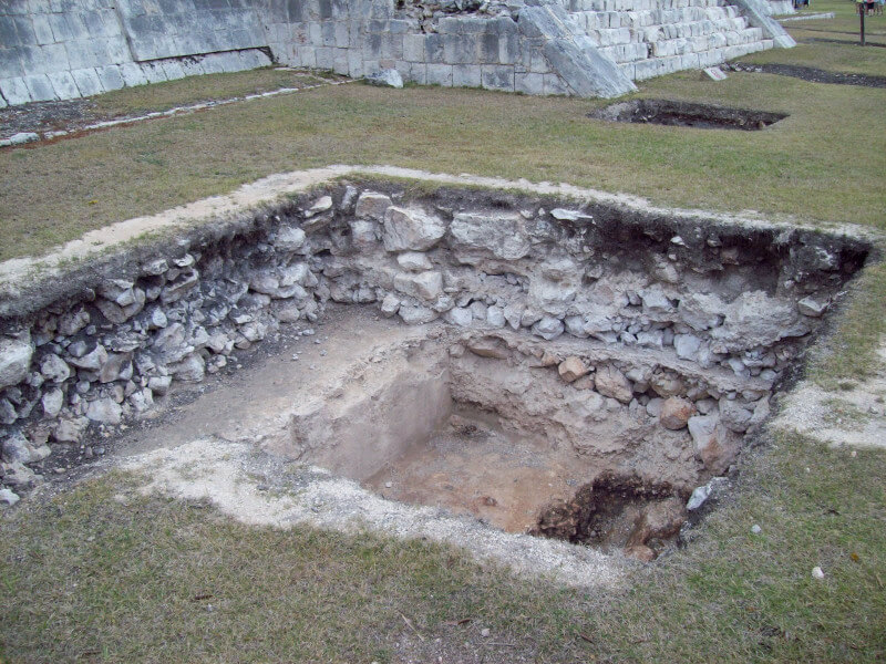
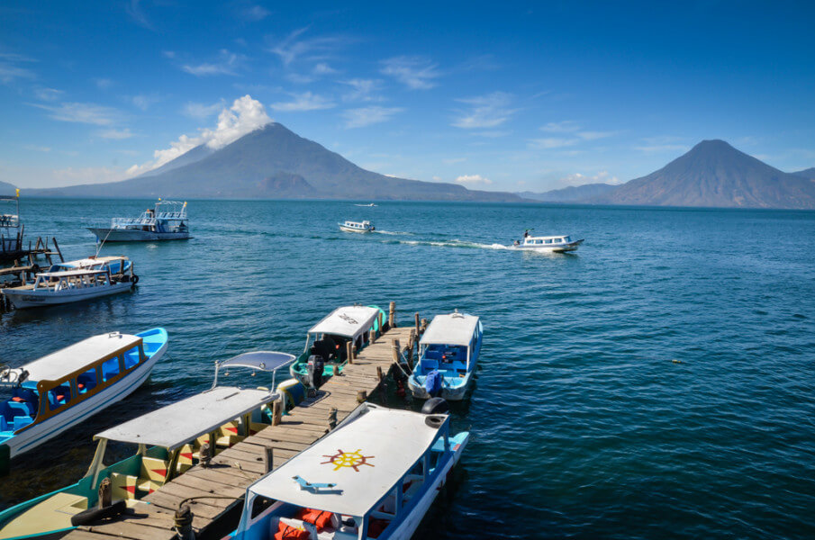
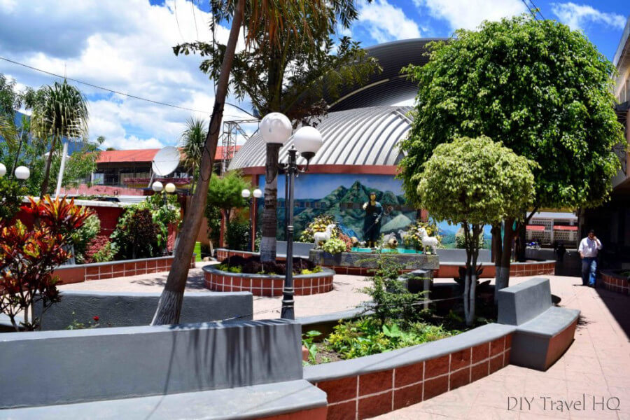
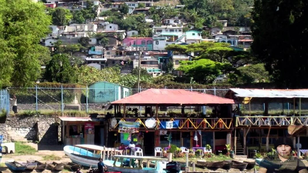
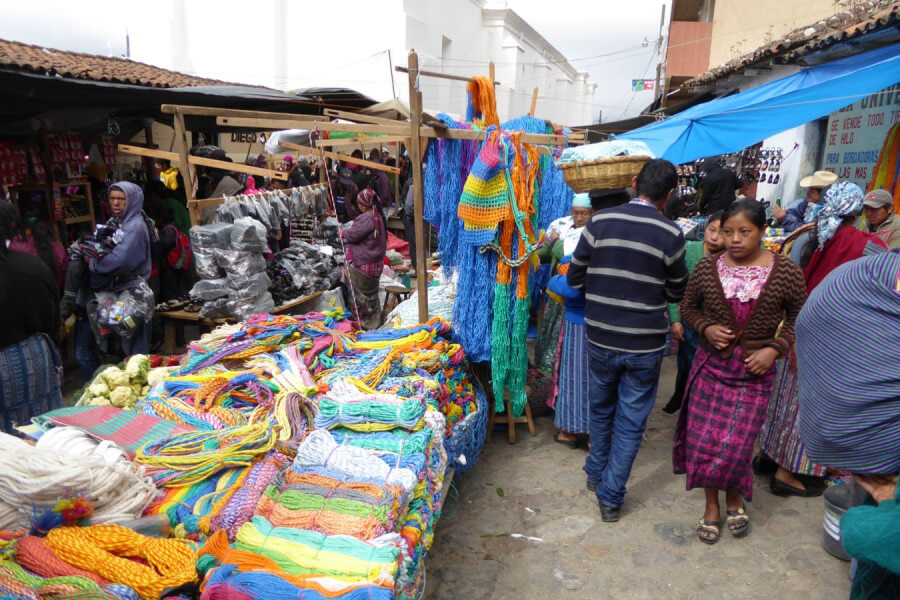
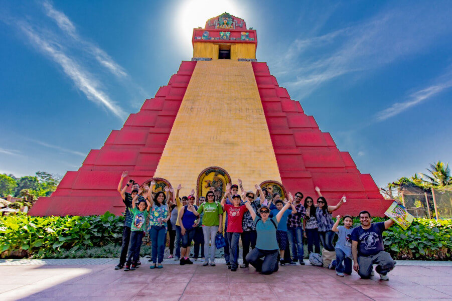
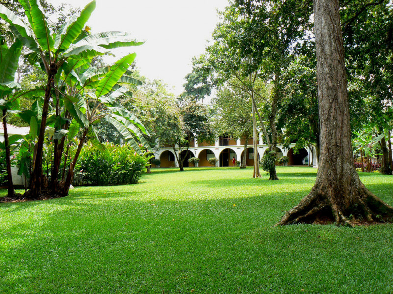
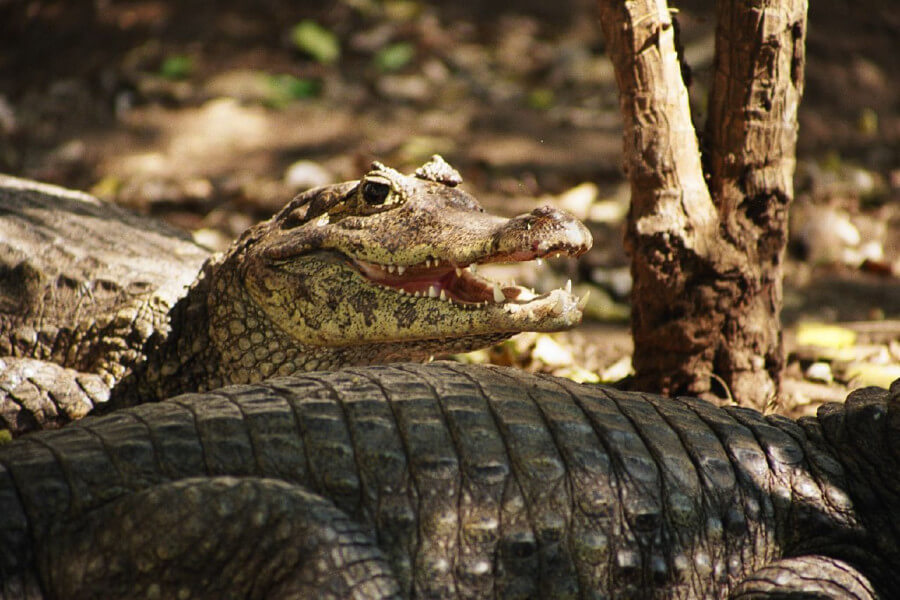
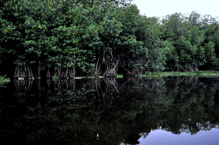
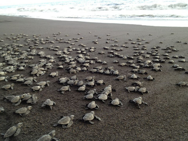
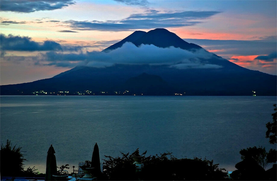
From Monterrico, we will continue to Auto Safari Chapin, animal farm and sanctuary que se concibió la idea de crear una reserva de fauna, con el fin de conservar y reproducir especies de la fauna Guatemalteca y africana en vías de extinción. Los primeros animales en llegar a la reserva fueron 
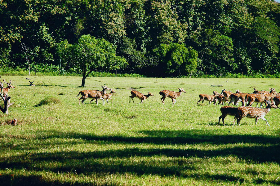
15 Venados cola blanca. Luego vino la primera pareja de hipopótamos, así como más adquisiciones de animales silvestres locales e internacionales, algunos en calidad de donación por varias personas. Después de 3 años de estudios y planificación, se inició por hacer el camino del recorrido, removiendo 75 centímetros de materia orgánica y agregándole balastre, el cual se ha mantenido en excelentes condiciones hasta la fecha. Luego se construyó el ranchón, utilizando madera de Teca, sembrada en 1945. De allí se construyo el resto de la infraestructura del zoológico, y además se hicieron las oficinas, taquillas, ventas de refrescos y las piscinas. Durante dos años que duró la construcción se continúo con la adquisición de animales, mientras se reforesto todo el parque con árboles de Caoba, Conacaste, Matilisguate, Cedro, así como varias plantas de croto, clavelón, y bambú, entre otros; abriendo finalmente sus puertas al público el 26 de enero de 1980. En 1994 se inició un programa progresivo de remozamiento de las jaulas y recintos, en la cual se reduce la necesidad de jaulas y los animales cuentan ahora con un entorno más natural, abierto y acondicionado para sus necesidades específicas. Hasta la fecha se continúa la remodelación para poder mejor mostrar a los animales y que estos cuenten con espacios abiertos donde vivir. Se ha logrado reproducir con éxito especies guatemaltecas en peligro de extinción como el venado cola blanca, venado huitzizil, coche de monte, jabalí, jaguares, monos araña, monos capuchinos, guacamayas rojo y azul, loros, y pericas. 
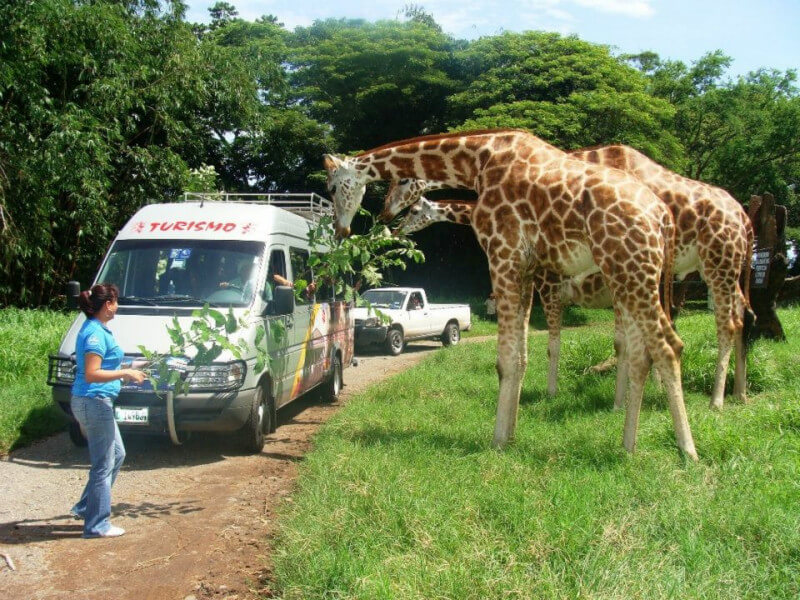
Además se mantiene la colección de especies de otros continentes, para colaborar mundialmente con su reproducción, y que a la vez sirvan para darlas a conocer a los visitantes de la reserva. Los visitantes pueden admirar fauna africana como el león, rinoceronte, leopardo, jirafas, avestruces, monos vervet y otros. También pueden ver ñandús o reas y llamas sudamericanas, así como antílopes Nilgai, sasín y venado chitales originarios del Asia. La mayoría de estas especies se han reproducido con mucho éxito en la reserva, y continuamos el esfuerzo por mantener una colección abundante y sana. 
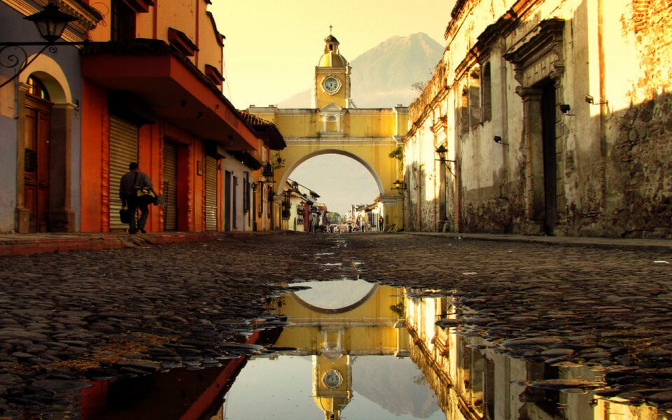
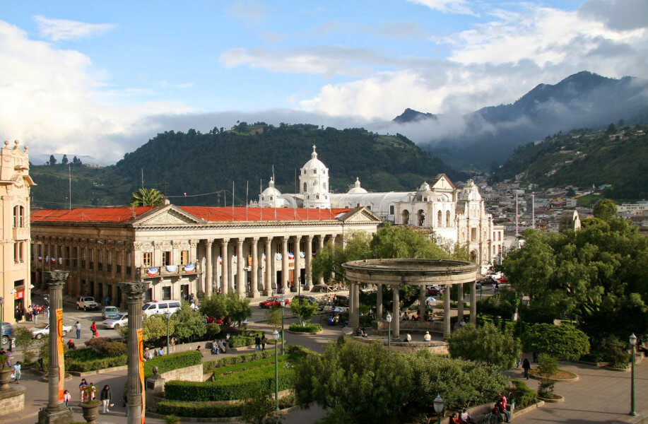
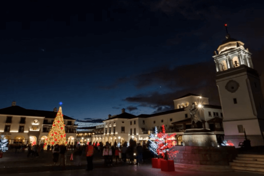
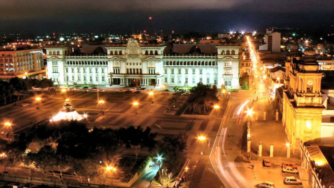
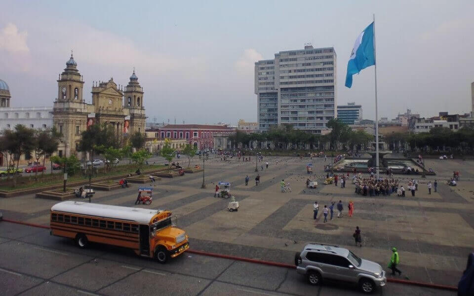
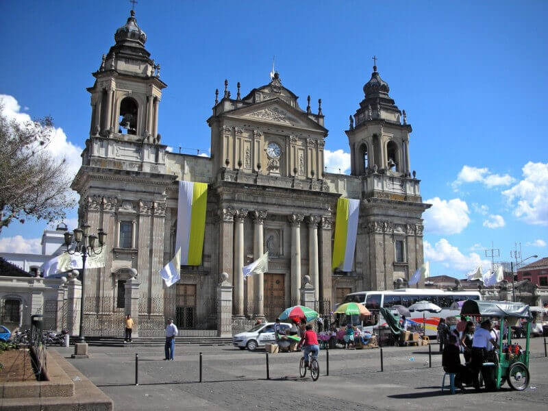
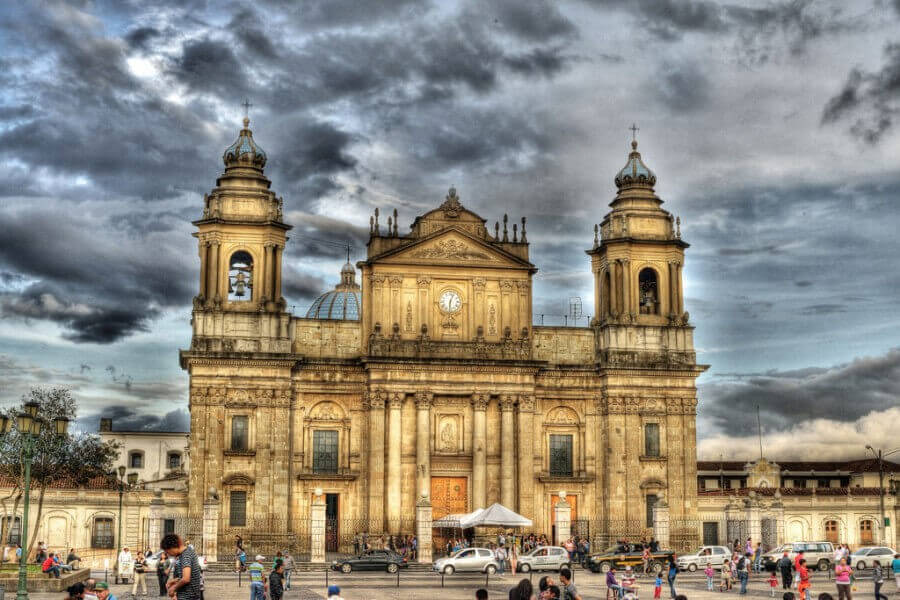
We will stay there until the early afternoon, when we will start our return to Guatemala City. We have prepare a Bohemian guided night tour of the historic central part of the city. After the tour, we will return each visitor to their chosen hotels. Read more

Guatemala City Hotels
More Pictures

Guatemala City Historic Day Tour

In our Guatemala City historic tour, we will guide you thru colonial buildings, churches and museums. The city of Guatemala, whose official name is Nueva Guatemala de la Asunción, is the capital and seat of the government of the Republic of Guatemala, as well as the seat of the Central American Parliament. The city is in the south-central area of the country and has a large amount of green areas. According to the latest census in the city, 2,149,107 people live there, but considering its metropolitan area according to the National Institute of Statistics, it reaches an estimated 4,703,865 inhabitants for 2015, Which makes it the most populous and extensive urban agglomeration in Central America. The New Guatemala of the Assumption is the fourth settlement of the capital of the Kingdom of Guatemala. The reason for its transfer to the Valley of the Ermita were the earthquakes of Santa Marta, that destroyed to a large extent the city of Santiago de Guatemala, the old capital of the Kingdom of Guatemala. The transfer order was given on December 1, 1775 and on January 2 of the following year there was a meeting for the first time in the city council of the new city. A plaque, which stands in front of the Santa Cruz Parish, just at the beginning of the Milla and Vidaurre road named after the writer and diplomat José Milla y Vidaurre, commemorates this fact. The name of the new city was decreed by the King of Spain on January 23, 1776. Its development has been affected in numerous occasions by natural disasters, earthquakes in their majority, that have devastated the city and its surroundings receding in her years of development. The last one that affected it was the earthquake of 1976 that seriously damaged the modern structure built and the one that was under construction, as well as historical relics like the churches of Our Lady of the Favor, The Collection, Our Lady of the Cerrito of the Carmen - First church built in the valley around 1620-, and the Central Market building. This will be the end of our Tour, we will take each guest to their selected hotels. Read more

Guatemala City hotels.
More Pictures

ACCOMMODATIONS

Day in trip
Location
Hotel
Day 1
Location Ciudad Guatemala, Guatemala
Day 2
Location Antigua Guatemala, Sacatepequez
Day 3
Location Chichicastenango, Quiche
Day 4
Location Panajachel, Solola
Day 6
Location Quetzaltenango
Day 7
Location Retalhuleu
Day in trip
Location
Hotel
Day 1
Location Ciudad Guatemala, Guatemala
Day 2
Location Antigua Guatemala, Sacatepequez
Day 3
Location Chichicastenango, Quiche
Day 4
Location Panajachel, Solola
Day 6
Location Quetzaltenango
Day 7
Location Retalhuleu
Day in trip
Location
Hotel
Day 1
Location Ciudad Guatemala, Guatemala
Day 2
Location Antigua Guatemala, Sacatepequez
Day 3
Location Chichicastenango, Quiche
Day 4
Location Panajachel, Solola
Day 6
Location Quetzaltenango
Day 7
Location Retalhuleu

TRIP PACKAGE

Package includes

  • Transfer from/to the airport
  • Transport during the tour
  • Accommodation
  • Local guides
  • Information services
  • Entrance fees

Package excludes

  • Airfare
  • Personal expenses
  • Visa, consular fees or any other formalities.
  • Tips
  • Beverages
  • Additional journeys and transfers

REVIEWS

2 Reviews

Dora Clemencia Lira Trujillo , Honduras

Todo estuvo acorde a lo pactado con anterioridad, ya que el hotel fue de nuestro total agrado, así como los distintos transportes que seleccionaron para nuestro servicio, la atención recibida por su personal fue muy completa y servicial en todo el recorrido!

Rose A. Molina , Guatemala

Por este medio les hago llegar mi agradecimiento por todo su apoyo, todo estuvo perfecto desde la organización hasta el momento de llevarlo a cabo, los lugares que asignaron para que yo pudiera visitar eran muy bonitos, quede impresionada con los paisajes en el tren, los hoteles en los que me hospede todos de muy buena calidad, cómodos y con muy buen servicio, el transporte muy seguro y puntual, quede con ganas de regresar, más porque no me fue posible visitar Machu Picchu por manifestaciones en el lugar, pero todo fue de la mejor manera, esperando poder viajar nuevamente con ustedes. Read more

BEST MONTHS

  • 1
  • 2
  • 3
  • 4
  • 5
  • 6
  • 7
  • 8
  • 9
  • 10
  • 11
  • 12

SIMILAR TRIPS

WHY USE US

Your Dream Comes True

Easily find your favorite trip style and destination. Optimal matching with local travel professionals that will make your dream come true.

Best Quality

All our trips are quality assured by our experienced international travel teams. We’ve selected only the best destination management experts to ensure that your trip experience will be plain sailing all the way.

Fast and Easy

Find your favorite trip, pick your destination and plan your personalized vacation with a local expert in just 3 easy steps. No searching hundreds of websites! One place, all your dream vacations!

No Middleman

With Ollami, there’s no third party between you and the local experts. YOU pick your travel expert. YOU have full control of your costs and WE give you peace of mind that there are no hidden fees or charges.

Personal Reviews

All our reviews are written by REAL travelers who have experienced our service first hand. With Ollami you can expect great trips, real reviews and absolutely no surprises.

Satisfaction Guaranteed

Your experience is our priority. We offer secure payments, 24/7 professional customer service during the trip, worldwide via phone, email, chat or Skype.